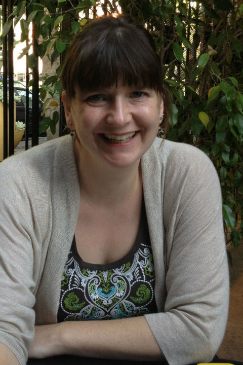
Corrine Coakley
Biography
I am a first-year Ph.D. student currently working on satellite image analysis of irrigation development in Cambodia. I am serving as a research assistant to Dr. Mandy Munro-Stasiuk and Dr. James Tyner in their much larger study focusing on the landscapes of mass violence in Cambodia between the years 1975-1979 when the Khmer Rouge was in power (see news article).
I have also participated in Ground Penetrating Radar surveys of Maya canals and platforms in both Campeche and Yucatan, Mexico. My M.A. research focused on identifying spatial patterns within an archaeological site and evaluating the effectiveness of using geostatistical techniques in the archaeological setting.
My interests lie at the intersection of GIScience, remote sensing, and Geoarchaeology. While using remote sensing methods to locate and identify past landscapes and GIS techniques to represent them, my aim is to take Geoarchaeology further by applying large-scale geostatistical techniques to household and village level environments. This allows the sites themselves to reveal the methods society used in their construction, and their effects on the surrounding environment.
Expertise
Remote Sensing
Spatial Analysis
Geostatistics
Geoarchaeology
Household Studies
Maya Studies
spatial pattern recognition
Geoarchaeology
Geostatistics
environmental remote sensing
ground-penetrating radar
legacy satellite imagery
canals and irrigation features in khmer rougeera cambodia
Publications
- Interpreting archaeological topography: 3D data, visualization and observation http://www.tandfonline.com/doi/abs/10.1080/15230406.2014.951525?journalCode=tcag20
- Masters’ Thesis: Activity Space in a Terminal Classic Maya Household Xuenkal, Yucatan, Mexico https://etd.ohiolink.edu/pg_10?0::NO:10:P10_ACCESSION_NUM:kent1406544634
